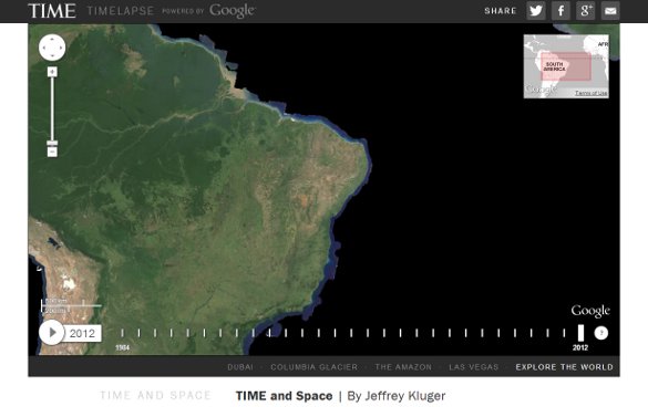
For the geographer or climatologist among you out there, Google has helped develop a fascinating time-lapse view of our planet. Just released today, the stunning perspective via Google Earth, and in collaboration with Time, NASA, and the USGS, offers the most comprehensive view of our planet over time ever.
According to the news from the Official Google Blog, the zoomable time lapse view of our globe visible via Time’s aptly named Timelapse project, is nothing less than phenomenal. Millions of satellite images were used to lace together not only beloved planet Earth, but how our world has changed since 1984. The marque “looks” Google is talking about are; Las Vegas, the Brazilian rain-forests, the melting Columbia Glacier, and the construction of Dubai. However, what’s even more amazing is the project at Time where visitors can search just about any place.
Google also has a so-called Earth Engine where visitors can play with a timelapse lab that shows regional changes over time. For anyone interested in climate change, Earth history, geology, forests, urbanization, and especially geography, the Time project is a huge WOW experience. You can scroll, search, zoom, and activate timelapse using the map, which is super cool.
Here’s some examples to look at over at Google + too.
