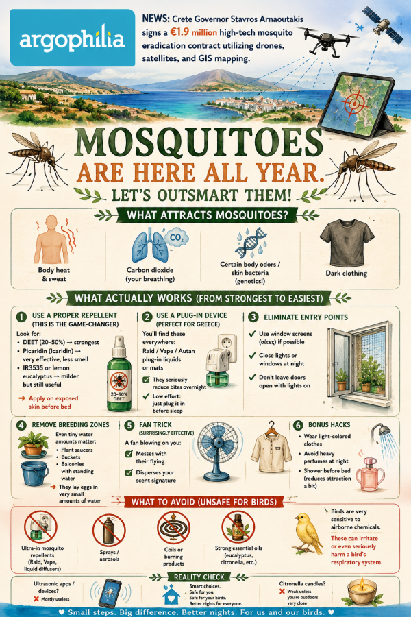
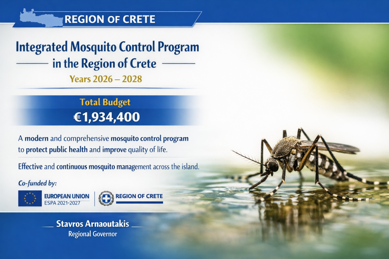
- Region of Crete Governor Stavros Arnaoutakis has signed a comprehensive, three-year contract titled “Integrated Mosquito Control in the Region of Crete for the Years 2026-2028.”
- The project is backed by a €1,934,400 budget funded directly through the Regional Development Program.
- Eradication efforts will use drones, satellite tracking, and real-time WebGIS mapping integrated with the island’s spatial data infrastructure.
- The initiative also includes a new dedicated hotline and digital application for residents to report standing water and active breeding hotspots.
Following months of administrative anticipation, the Region of Crete has officially greenlit a sweeping, high-tech public health initiative designed to suppress mosquito populations across the island through 2028. Moving far beyond traditional localized ground spraying, this new three-year strategy integrates aerial technology and satellite tracking to target vectors before they reach urban centers.
The delayed launch brings a highly coordinated logistical grid to the island’s diverse terrain. Drones will be deployed to navigate and treat hard-to-reach coastal marshes, stagnant river mouths, and agricultural runoff zones where traditional vehicles cannot tread. By pinpointing larvicide applications from the air, the program seeks to cut off the insect life cycle at the source, safeguarding public health and improving the summer evening experience for residents and tourists alike.
The scale of the operation covers thousands of vulnerable water systems and urban drainage networks across all four regional units of Crete.
What the Mosquito Eradication Program Includes
- €1,934,400: The total financial allocation from the Regional Development Program covering the 36-month timeline.
- 100+ wetland systems: Critical ecological zones, lagoons, and estuaries receiving continuous biological sampling.
- 1,000+ kilometers: The total length of canals, open torrents, and streams slated for systemic monitoring.
- 5,000+ peri-urban sites: Breeding hotspots identified on the fringes of towns and agricultural villages.
- 30,000 storm drains: Individual rainwater catchments being treated across the island’s major municipal centers.
At the core of the 2026–2028 campaign is a sophisticated geospatial mapping network. Field researchers and drone operators will feed real-time field data into a central WebGIS system. This digital framework operates in absolute synchronization with the existing GIS Crete spatial database, allowing regional health authorities to see exactly where outbreaks are developing and direct crews with pinpoint accuracy.
Furthermore, a permanent network of entomological traps will be installed at Crete’s primary gateways, focusing heavily on commercial harbors and international airports to intercept invasive species early.
For Regional Governor Stavros Arnaoutakis, the multi-million-euro investment is a necessary pillar for both local civic life and the island’s economic engine.
“For the Region of Crete, protecting public health and improving the quality of life for our citizens is an absolute priority,” Arnaoutakis stated during the contract signing. “With this new three-year agreement, we are leveraging all available modern tools to implement an integrated control system. Through methodical operational plans, we are investing in prevention, ensuring a safe environment for both our residents and the thousands of visitors to our island.”
With the system finally active, the focus moves to immediate field execution. To bridge the gap between regional operations and local neighborhoods, the prefecture is launching a public hotline and an interactive mobile application, giving citizens a direct line to report standing water anomalies in their own communities as the summer heat intensifies.