- Updated seismic hazard and seismic risk maps presented on Kriti TV show Ώρα Αιχμής (Rush Hour)
- Geologist M. Fasoulas explains why Crete remains one of Europe’s most active seismic regions.
- Parts of the island are now classified in Hazard Zone 3.
- Faults, soil type, building age, and density influence risk.
- Heraklion and Chania are in the red zone of the seismic risk map.
- Calls for readiness, building checks, evacuation plans, and school protection.
In Crete, earthquakes are not news. They are part of the island’s daily vocabulary — the slight shiver under the floor tiles, the sound the window makes when the energy shifts, the instinctive pause that locals learn from childhood. But this week, the familiar tremor became an official document.
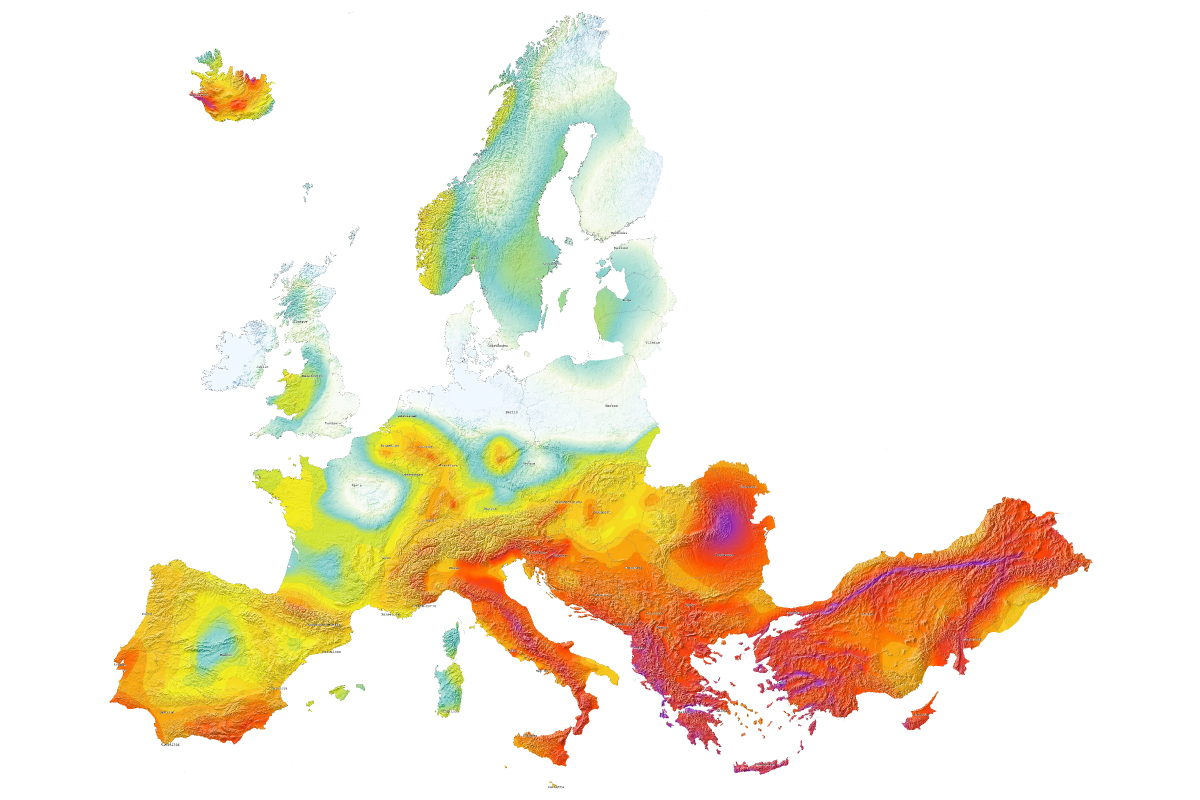
On the television programme Rush Hour, geologist M. Fasoulas presented the updated seismic hazard map of Greece, which reorganizes the scientific understanding of the island’s vulnerabilities. It is not meant to alarm; it is intended to clarify. And clarity, especially in Crete, is a form of protection.
According to Fasoulas, Crete remains among the most seismically active regions in Europe, shaped by powerful forces both beneath and around it. The southern and eastern fault zones — long known, deeply studied — continue to accumulate energy without pause. The island is not drifting into danger; it has always lived in it. What changes is our knowledge.
“The update was not random,” he explained. “New data incorporate the seismic sequences of the last decade, shifts in the Hellenic arc, and measurements from satellite systems.”
These details are not abstract. They are the basis for the map, which now places a significant portion of Crete in Seismic Hazard Zone 3, the highest-risk category.
Hazard, Risk, and the Difference That Saves Lives
Fasoulas emphasized that danger is not defined solely by magnitude. It is shaped by the ground beneath each neighbourhood, the age of the buildings that carry families and businesses, and the density of construction that can amplify consequences.
The updated maps offer two perspectives:
Seismic Hazard Map
- Large sections of Crete are placed in Zone 3 (highest hazard).
- Active faults confirmed in southern and eastern Crete.
- Continuous tectonic energy accumulation.
- The possibility of major seismic events cannot be excluded.
Seismic Risk Map (What the Damage Would Be)
For the first time, a second map reveals which areas could suffer the worst consequences due to human factors such as:
- Building age
- Construction quality
- Urban density
- Infrastructure concentration
- Local soil behaviour
In this map, Heraklion and Chania sit clearly in the red zone. Not because the earth beneath them shakes more, but because the impact of a strong earthquake would be heavier.
Fasoulas stressed one point that cuts through the scientific complexity: “Readiness is the goal. Knowledge must become action.”
The Human Geography Behind the Risk
Across Crete’s municipalities, attention has turned sharply to schools, hospitals, public buildings, and everyday structures that carry thousands of people. Specialists speaking on the programme made it clear: earthquake protection is not a luxury. It is an obligation.
Concerns raised included:
- School complexes with insufficient structural resilience
- Old buildings in dense neighbourhoods
- Infrastructure networks that need reinforcement
- Lack of updated evacuation plans in several municipalities
- Public awareness is still uneven across communities
Experts noted that preparedness cannot remain on paper. It must reach households, classrooms, and workplaces. The island’s history is full of reminders — some written in stone, some in memory.
What the Updated Map Means for Crete in 2025
The scientific message is clear: the island is not entering a new era of danger; it is entering a new era of information. The updated map does not predict earthquakes — it updates the landscape in which we must live with them.
Key Implications
- Crete’s seismic activity remains high and continuous.
- Large parts are officially recognised as Zone 3.
- The risk map highlights urban centres — not for their ground, but for their density.
- Stronger building control becomes a necessity, not a recommendation.
- Public training and emergency planning must become routine.
- Municipalities face urgent responsibilities regarding schools and critical facilities.
Fasoulas commented that major seismic events like those recorded historically “cannot be ruled out.” This is not a prediction — it is a reminder. Earthquakes do not follow statistics; they follow physics.
A Quiet Warning for an Island That Already Knows
In Crete, the earth moves. It always has. What the updated map brings is not fear, but structure — a more transparent framework for decisions that affect safety, architecture, planning, and everyday life.
The experts who spoke on the programme repeated a single message in different words:
Preparedness saves lives.
Not speculation.
Not panic.
Just readiness.
It is a message that every home, every school, every office, every municipality on the island will need to hold onto as the ground beneath Crete continues its slow, robust conversation with the sea and the sky.
[…] Crete remains one of the most seismically active regions in Europe, and such nighttime jolts — while unsettling — are considered normal for the island. Parts of the island are now classified in Hazard Zone 3. […]